Effective public transit planning is essential for creating efficient transportation systems that address the needs of communities. As reliance on data continues to grow, understanding how location information can enhance transit services has become increasingly important. This article explores the benefits of efficient public transportation, the critical role of location data in planning, and the challenges associated with its use. Additionally, it addresses privacy concerns and the need to integrate various factors to develop comprehensive solutions. Join us as we uncover the keys to successful public transit planning.
The Importance of Effective Public Transit Planning

Public transit planning is crucial for enhancing urban mobility by improving the quality of transportation infrastructure, accessibility measures, and overall service efficiency in smart cities. Effective planning also requires understanding transport infrastructure and its integration with pedestrian infrastructure to ensure a cohesive transportation system.
Comprehensive planning allows cities to meet the mobility needs of their communities by ensuring equitable access to public transit and addressing demographic changes.
An efficient and well-planned public transit system not only improves passenger behavior but also encourages civic engagement and public engagement in the planning process, which is vital for transport equity and ensuring community feedback is incorporated.
This engagement, in turn, reduces the environmental impact of urban transportation and promotes sustainable development.
Benefits of Efficient Public Transportation Systems
A well-functioning public transportation system has numerous impacts, including improved transit efficiency, enhanced ridership data and analysis, and a better understanding of community-wide travel behavior patterns. These factors promote mobility solutions that cater to the diverse needs of the population, ensuring that transportation equity and access to goods, services, and opportunities are achieved.
Additionally, effective public transit systems contribute to environmental sustainability by reducing motor vehicle traffic, decreasing carbon emissions, and fostering more livable cities that are less reliant on private automobile transport.
The following sections will discuss in detail how a well-functioning public transit system delivers these benefits to society and the economy.
Efficient Public Transportation Systems Improve Transit Efficiency
Public transportation systems that operate efficiently provide streamlined transit options for users due to their integrated nature. As a result, they minimize waiting times, encouraging more individuals to utilize public transit instead of relying on personal vehicles. This shift leads to increased ridership and enables better allocation of transportation infrastructure resources.
Efficient public transportation systems also facilitate the sharing of ridership data that enhances public transport services.
Efficient Public Transportation Systems Provide Better Ridership Data and Analysis

One of the key advantages of a well-functioning public transportation network is the availability of reliable and accurate ridership data and travel behavior analysis. This data not only aids transport agencies in improving their services but also equips policymakers with the necessary information to make informed decisions regarding transit systems and urban planning.
Efficient Public Transportation Systems Help Us Understand Community-Wide Travel Behavior Patterns
Efficient public transportation networks offer insights into travel behavior patterns at the community level. A well-functioning public transit system employs multiple modes to provide transportation options tailored to individual needs, allowing for the analysis of how users switch modes as travel behavior evolves.
Efficient Public Transportation Systems Promote Mobility Solutions That Meet Diverse Needs
Public transportation systems are critical in delivering mobility solutions that address the needs of diverse populations. When efficient, these systems support transportation equity and provide reliable access to goods, services, and opportunities, enabling people to reach their desired destinations.
Efficient Public Transportation Systems Contribute to Environmental Sustainability

By reducing traffic congestion and cutting down on carbon emissions, efficient public transportation systems play a vital role in achieving environmental sustainability. They also help create more livable cities that are less dependent on personal vehicle transport.
According to the World Resources Institute, these systems support economic growth in urban areas, which are significant contributors to greenhouse gas emissions.
Efficient Public Transportation Systems Improve Urban Planning
Efficient public transportation systems enhance urban planning initiatives by facilitating communication and collaboration among stakeholders, including city planners, community leaders, and environmental advocacy organizations.
This collaborative process improves community access to essential goods and services, such as healthcare, education, and employment opportunities. Ultimately, efficient public transit systems contribute to the goals of sustainable urban environments and stimulate vibrant economic systems that benefit all stakeholders.
Using Location Data to Inform Public Transit Planning
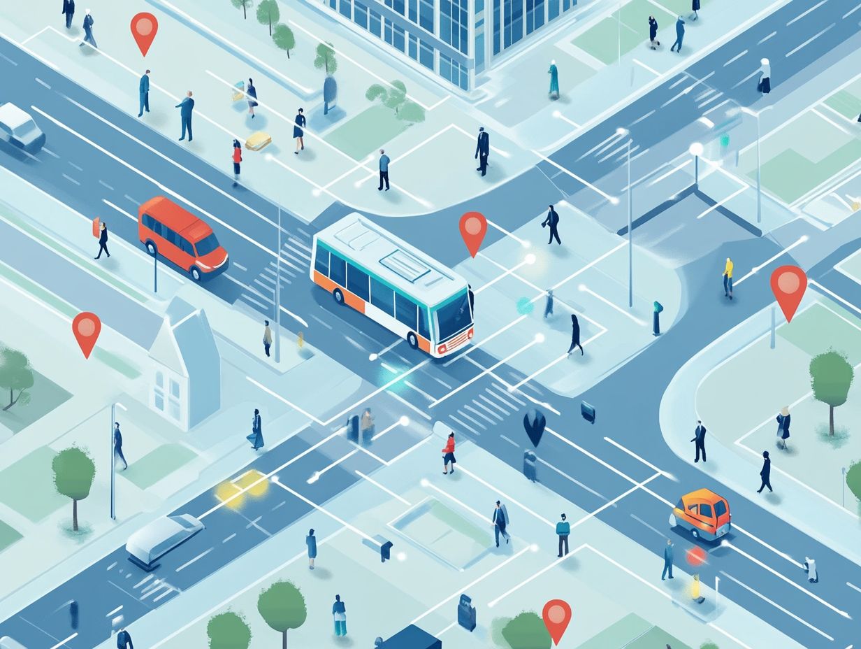
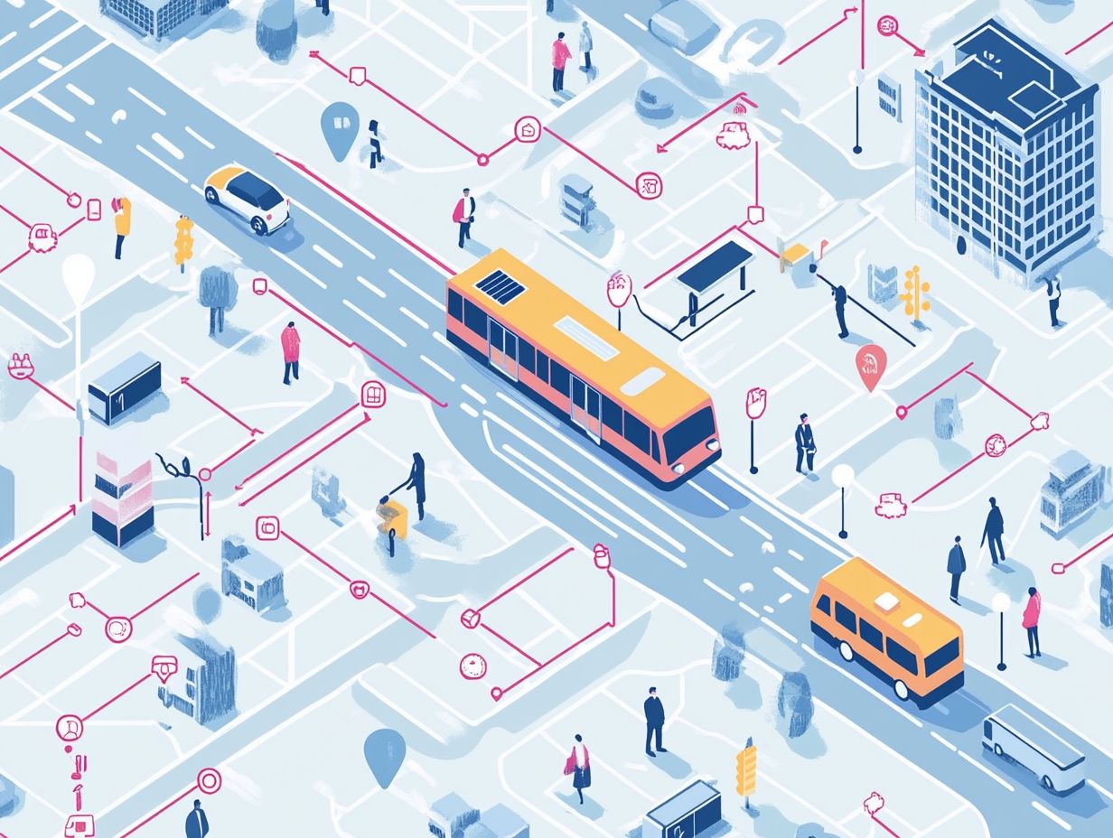
Location data plays a crucial role in public transit planning. Transportation planners utilize geographic information systems (GIS) and data analytics to enhance spatial analysis.
Mobility data enables transit agencies to understand travel demand and passenger behavior, which can be applied to optimize routes and map service areas.
Additionally, location intelligence helps agencies identify underserved communities, promoting equitable transit access and improved service frequency.
Through data-informed planning, transit systems can achieve enhanced planning efficiency and better align with community needs.
Understanding the Role of Location Data

The role of location data in public transit planning is multifaceted. It enables agencies to track geographic trends and facilitates the integration of data across various transportation systems.
Additionally, it provides a foundation for predictive modeling of future transit networks. By monitoring and analyzing location data, transit agencies can project travel demand trends, enhance service design, and implement strategic urban planning projects that align with the needs of the surrounding community.
This critical location data highlights population density and commuting habits, which inform geographic routes, scheduling plans, and fleet deployments.
The integration of diverse data sources—such as GPS tracking, historical ridership statistics, and real-time traffic conditions—deepens the understanding of how different demographic groups interact with transit options.
Predictive modeling not only helps identify potential shifts in transit demand but also aids agencies in optimizing route planning and scheduling. This process integrates geographic trends and spatial analysis to create accurate demand-responsive transit solutions.
By utilizing such comprehensive analyses, transit operators can allocate resources more efficiently, improve operational performance, and tailor services to meet the evolving expectations of riders, ultimately fostering a more sustainable and accessible transit ecosystem for all.
Collection and Analysis of Location Data for Planning
The collection and analysis of location data for public transit planning involves utilizing real-time data and advanced analytics tools to enhance user experience and optimize services. Transit agencies monitor service performance by gathering data through various methods, including mobile applications, automatic passenger counting, and metrics on station entries and exits. This information enables them to make informed decisions regarding infrastructure investments and route design.
This comprehensive analysis helps transit systems respond effectively to changing community needs and commuter preferences. With user expectations at an all-time high, leveraging real-time data has become increasingly critical. Analytics tools that can process large sets of data allow transit authorities to quickly identify trends in commuter behavior, adjust schedules, and eliminate inefficiencies.
The ability to respond promptly to disruptions or delays significantly enhances the overall transit experience, consequently boosting customer satisfaction and ridership. Additionally, predictive analytics enable agencies to anticipate needs and preferences, allowing them to further tailor their service offerings in line with user expectations and promote sustainable transit use.
Challenges and Solutions in Utilizing Location Data for Public Transit Planning
The challenges associated with using location data for public transit planning encompass privacy and ethical concerns regarding the collection of such data.
To foster data-driven decision-making while maintaining public trust, effective collaboration among stakeholders and transparency about the data’s usage are essential.
Additionally, transportation systems must navigate technical challenges related to integrating multiple data sources and must consider potential biases in data analysis.
Addressing these challenges is crucial for the successful implementation of transit planning strategies that safeguard privacy and promote equitable access to services.
Privacy Concerns and Ethical Considerations
Privacy concerns and ethical considerations are crucial when discussing the collection and use of location data in public transit planning, as they significantly impact public trust and the effectiveness of transportation equity measures. Implementing robust data privacy policies and stakeholder collaboration enhances community outreach and promotes social equity.
It is essential to ensure that data-sharing practices comply with regulations and respect individual privacy rights in order to foster positive relations with the community. Transit agencies must navigate these complexities while formulating public policy that balances the benefits of data utilization with ethical standards and promotes urban mobility.
The nuances of this issue are particularly significant, as they involve the delicate balance between leveraging data for improved services and respecting individuals’ autonomy. Stakeholders need to clearly articulate the justification for data collection, highlighting its potential to enhance transit systems while also guaranteeing safeguards to protect user information, and ensuring transport equity.
Robust public policy must be established to ensure transparency regarding how location data is collected, stored, and utilized, thereby building trust within communities. Such policies would facilitate dialogue between transit authorities and residents, ensuring that ethical considerations remain at the forefront of decision-making processes and support effective planning.
Integrating Location Data with Other Factors for Comprehensive Planning
Integrating location data with other factors, such as demographic analysis and traffic patterns, is essential for effective public transit planning, as it fosters a comprehensive understanding of community needs and supports sustainable urban mobility.
This approach enables detailed mapping of service areas and improved route design by allowing transit agencies to align various data sources with local demands. Consequently, it helps ensure that transit planning is sustainable and responsive, promoting social equity and service reliability.
By analyzing integrated data, planners can gain insights into how different communities engage with transit services, identifying both areas of high demand and those that are underserved, while considering geographic trends and land use planning.
Additionally, this integration enables planners to consider socio-economic factors that influence ridership patterns, such as travel behaviors and commuter behavior, guiding targeted service investments and expansions.
Transit agencies can leverage this data to optimize scheduling, reduce operational costs, forecast future mobility needs, enhance service levels, and improve route efficiency through predictive analytics. Ultimately, this leads to a stronger relationship between transit providers and local residents, fostering community trust and involvement in public transit initiatives, and enhancing transit accessibility.


